Herculaneum Project
The Herculaneum Project is located west of the Tollu Project (Figure 1). The key attributes that define its prospectivity are the inferred structure (Fault Zone F) (Figure 2), and what is believed to be the same rhyolite stratigraphy that hosts the Tollu copper mineralisation. The geology has been interpreted from GSWA mapping (Figure 3). The Herculaneum Project is prospective for Mt Isa style-copper sediment-hosted system.
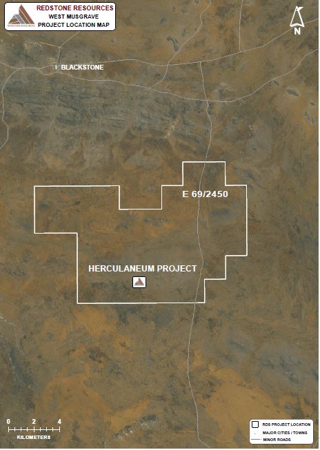
Figure 1 – Herculaneum Project Location Map
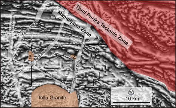
Figure 2 – District scale structural interpretation illustrating the Tollu Fault’s relationship with the Tjuni Purlka Tectonic Zone
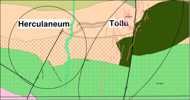
Figure 3 – The geological map for the Herculaneum Project representing the Fault Zone F and the stratigraphy believed to be the lateral equivalent to that hosting the Tollu copper mineralisation.